
["Below the 40th latitude there is no law; below the 50th no god; below the 60th no common sense and below the 70th no intelligence whatsoever." — Kim Stanley Robinson.]
Antarctica is one of the least understood continents on Earth, because 99.6% of its surface is covered by ice up to 4.8 km thick. There is increasing international awareness of the pivotal role that Antarctica plays in the global climate and geodynamic systems. Roll mouse over the map below to remove the ice and click to find out more about Antarctica.
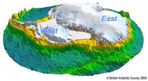
The stability of Antarctic ice sheets in a warming climate is of significant societal relevance because of its repercussions on global sea-level rise. Airborne geophysics is a prime tool to explore ice sheets, image subglacial environments and to study associated geological features. The British Antarctic Survey has recently been at the forefront in developing an enhanced aerogeophysical platform (installed in a Twin Otter), comprising airborne radar, aeromagnetic and aerogravity sensors.

Click on the plane to find out about the aircraft
My Antarctic Journal - AGAP 2008/09 (Dome A)[click here]
The AGAP airborne survey is a joint international campaign involving many countries in order to provide all the expertise and logistics required - UK (BAS), USA (NSF), Germany (AWI and BGR), Austraila (AAD) and China .
Where was I in this year? - A season surveying near the Ellsworth Mountains in West Antarctica. This year got to experience the BAS system as I mobilised via Rothera.
My Antarctica Journal - East Antarctica 2005/06 (The Italian Job)[click here]
Where was I in this year? - A season surveying in Wilkes Land in the area around Talos Dome East Antarctica. My first season with British Antarctic Survey and what a season.
Preperation before going to Antarctica
Before departing there is much preparation to be done and a huge amount of packing to be done. It all starts with flight trials.
Below are some pictures of my preparation before going. Duxford flight trials are alot of fun and with some work!! Conference and field course even more fun.
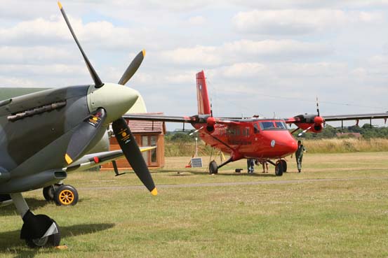
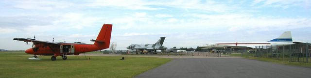
BL along side some of the greats of Aviation history (she seemed to be the most photographed plane when we were there!)
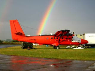
There be gold at the end of the rainbow?
Training in Derbyshire
Links to related Antarctic Web sites British Antarctic Survey,COMNAP,a quiz?
Links to my holiday photos: Zerolongitude Home Page
| Zero Longitude |